I want to share on this blog a piece written by the mother of a good friend of mine, a woman who visits this interesting, enchanting, and somewhat mysterious place near Mexico City with some regularity. Knowing the town and all its charms as I do, I doubt I could have written anything more compelling about it myself, and that's to say nothing of the beautiful photographs that Mati (as her friends call her) took. I hope you enjoy this description of Valle de Bravo, written by Mati Romo, as much as I enjoyed reading it:
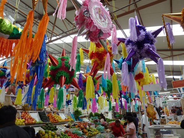
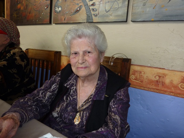
Valle de Bravo has just been named a Pueblo Mágico (Magic Town), and I have absolutely no doubt of its magic, because the moment you arrive in that wonderful place you already feel yourself transported to paradise. As we have done in recent years, we brought my mother to spend Christmas and New Year's at my sister Yolanda's house, where she lives. And not only to celebrate the holidays, but to celebrate her 96th birthday as well.
Name: Valle de Bravo Area: 421.95 square kilometers Population (2005 Census): 52,902 Demonym:
Area Code: (726)
Municipal President: Gabriel Olvera 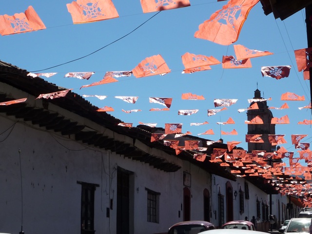
Because of its proximity to Toluca and to Mexico City, this agreeable retreat is one of the most visited in the entire Valley of Mexico, especially by hikers and families looking to get close to nature and spend a weekend far from the noise of the world. Many of the lodging options lean toward the rustic, though they offer the comforts of high-end resort complexes.
Valle de Bravo, originally called San Francisco del Valle de Temascaltepec, was for more than three centuries a settlement devoted to farming and horticulture. Surrounded by a dense mountain range and all but cut off from the outside world, it served nevertheless as an obligatory passage toward the Tierra Caliente region of the state of Guerrero. Life in the town unfolded quietly, interrupted only by the struggles that swept through the entire country in the push for better social conditions.
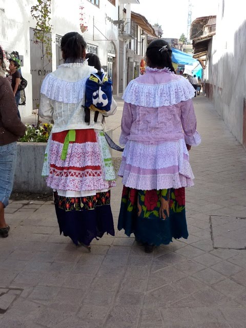
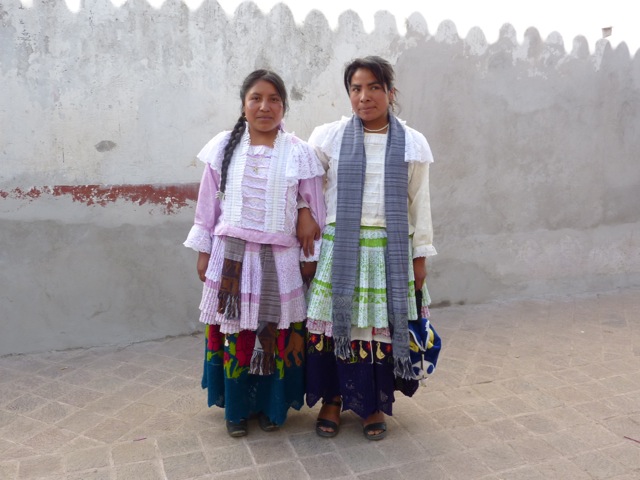
A note on the Mazahua people:
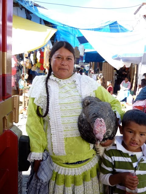
The Mazahua are the largest indigenous group in the state of Mexico. The word "Mazahua" is a Nahuatl ethnonym meaning "people of the deer." They descend from Nahua migrations in the late Postclassic period and from the racial and cultural blending of Toltec-Chichimec settlements, and have been established in the area of San Felipe del Progreso ever since.
The 2000 census counted 101,789 speakers of the Mazahua language (46,709 men and 55,080 women). They are concentrated in the northwestern and west-central regions of the state, mainly across 13 rural municipalities: San Felipe del Progreso, Villa Victoria, San José del Rincón, Donato Guerra, Ixtapan del Oro, Villa de Allende, Almoloya de Juárez, Ixtlahuaca, Temascalcingo, El Oro, Jocotitlán, Atlacomulco, and Valle de Bravo. Since the early 16th century the Mazahua have occupied this zone, which is made up of a series of mountains, hills, and valleys with a predominantly cold climate.
They have been producers of crafts and textiles for several centuries, a tradition documented by the establishment of a textile workshop (obraje) that gave the town now known as San Felipe del Progreso its earlier name: San Felipe del Obraje.
The spot where the first Mass was celebrated in 1530, beneath an ahuehuete (Montezuma cypress) that still stands, is known as El Pino. It bears a commemorative plaque and is carefully guarded by two archaeological pieces found at La Peña, the geographic center of the valley, where traces of an Aztec temple dedicated to Quetzalcóatl can still be found. Today La Peña is one of the most sought-after spots for weekend homes, but it hasn't lost any of its enchantment for that.

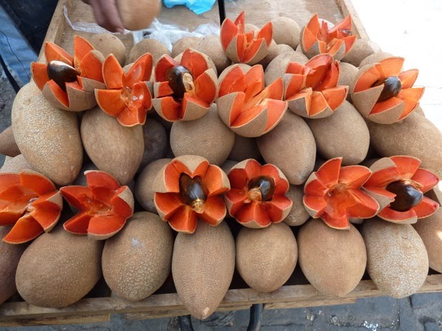
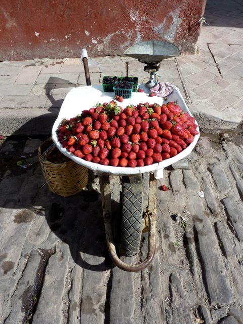
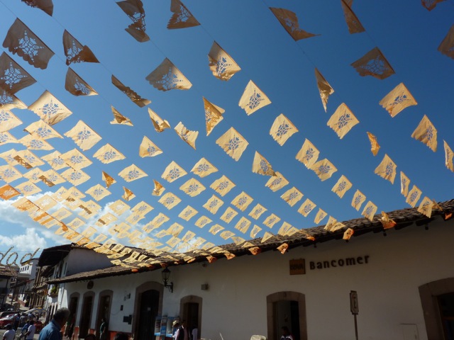
The parish church of San Francisco, patron saint of the town, has a 16th-century bell tower, one of the few surviving colonial-era structures in the city. A stroll through the steep little streets lined with adobe, wood, and red-tiled houses, almost all of them built in the 19th century, is a genuine pleasure. The arcaded portals around the main square with their stalls selling delicious antojitos (traditional Mexican snacks) and their Mazahua embroiderers, the wooden-columned bandstand with its tiled roof, the abundance of flowers adorning the well-kept lawns, and the ancient ash tree where thousands of birds noisily take shelter at dusk, all of it invites the visitor into a simple, uncomplicated kind of contentment.
History and geography:
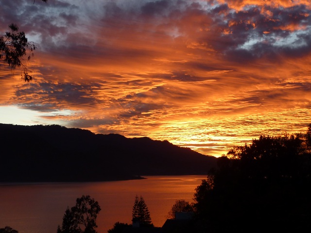
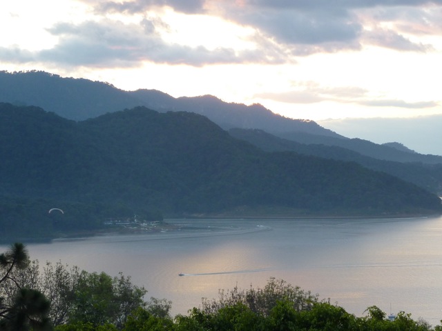
Originally named Temascaltepec (meaning "hill where there are temascales," or steam baths, in Nahuatl), Valle de Bravo was a town on the banks of a river at the center of a valley. In 1947, as part of the Miguel Alemán hydroelectric system, a dam was built across the river that had carried the valley's rainwater away, creating a large artificial lake in the middle of the valley. The current town of Valle de Bravo stretches a couple of kilometers from the lakeshore up into the surrounding hills. A nearby settlement with a predominantly tourist character, Avándaro, is another name by which the lake is sometimes known.
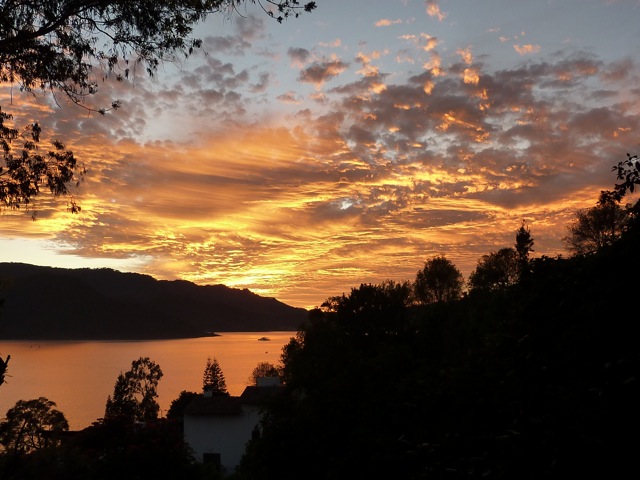
Before the lake existed, the forest already clothed the mountains and the town was called San Francisco del Valle de Temascaltepec. Today, this place is a paradise that never stops surprising me...
The provincial peace of Valle de Bravo was definitively broken, however, when in 1937 construction began on the Ixtapantongo power plant, which would later be called the Miguel Alemán Hydroelectric System, an ambitious project meant to supply the electricity demanded by the ever-expanding Mexico City.
As part of the project, on July 16, 1946, 2,900 hectares of farmland that formed the central part of the valley were flooded. The people of Valle de Bravo lost their plots and were forced to move to higher ground, leaving beneath the water the homes where their parents and grandparents had lived.
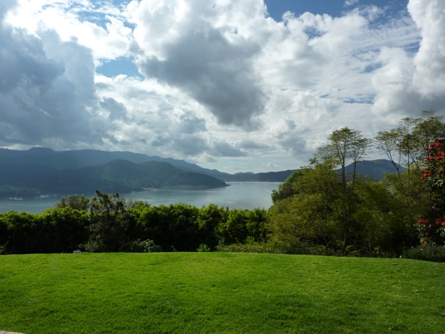
The lake at Valle de Bravo that we know today is, then, an artificial one, made by human hands in the name of progress, and for that reason, as a curious footnote, all the old houses "turn their backs to the lake," since their entrances were originally oriented toward the center of town.
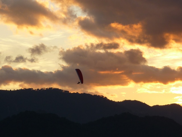
Beyond the water sports typical of lakeside destinations, such as waterskiing, sailing, canoeing, and fishing, Valle de Bravo offers visitors many other attractions. Avándaro, the neighboring community now absorbed into Valle, has high-end subdivisions and hotels, restaurants, an equestrian club, and a golf club. The surrounding area is popular for mountaineering, rock climbing, cycling and off-road motorcycling, car racing, hang gliding, and paragliding, among other activities.
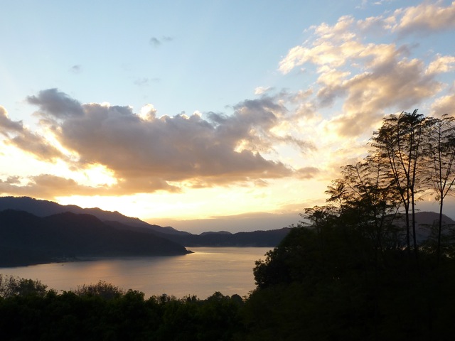
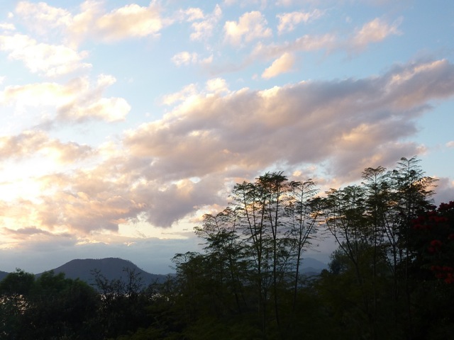
Valle de Bravo covers a total area of 421.95 km². The zone sits at considerable altitude: the maximum elevation of the lake surface is 1,820 meters, the average elevation of the municipal seat is 2,200 meters, and the highest peaks reach 3,040 meters above sea level. The climate ranges from cold to temperate, with occasional snowfall. The vegetation is forested, composed mainly of conifers. The dominant species is the ocote pine, a tree that can reach forty meters in height and from which resins are extracted for use by local small industries. This type of vegetation gives the town a picturesque, almost alpine character.
Activities and tourist attractions:
- Tandem paragliding with an instructor: You take off from the Mirador at Monte Alto, fly over the town in the direction of La Peña, and follow the shoreline of the lake until landing at Santa María, right by the water. The whole trip lasts approximately 35 minutes. An excellent option for people who enjoy a good thrill.
- Boat tour of the lake: Departing from the municipal dock, you can take boats that circle the lake in 30 to 40 minutes. The tour is available on private launches that hold up to ten people or on the tourist boats. On weekends there is also a special 3-hour evening cruise.
- Hike up to La Peña: The trail to La Peña begins at the entrance to the neighborhood of the same name and involves a steep 15-to-30-minute climb to the top of the rock itself.
- Horseback riding in Avándaro: Along the roadside just past the commercial area of Avándaro, you can rent horses for a ride through the surrounding area.
- Artisan Market: Housed in a beautiful two-story building with a central garden, five or six blocks from the main square, the artisan market brings together handcrafted goods from the region and from Mexico more broadly.
- Velo de Novia (Bridal Veil Falls): A long waterfall at the end of a short walk that begins at a midpoint on the road between Avándaro and Valle de Bravo. Easy to reach, and very much on the tourist circuit.
- Avándaro Waterfall: Heading from Valle de Bravo toward Avándaro, a beautiful waterfall appears beside the road. It's most spectacular during the rainy season and considerably less so during the dry months. Near the end of the trail, instead of descending to the river, you can veer left and, after a climb through several interesting changes in terrain and vegetation, arrive at the "divisadero del Lago," a viewpoint overlooking the lake.
- Gastronomic tour: The restaurants offer a variety of both regional and international dishes, often using local ingredients such as rainbow trout prepared in different ways, or seasonal mushrooms and wild fungi. Traditional Mexican antojitos can also be found at various spots throughout the town.
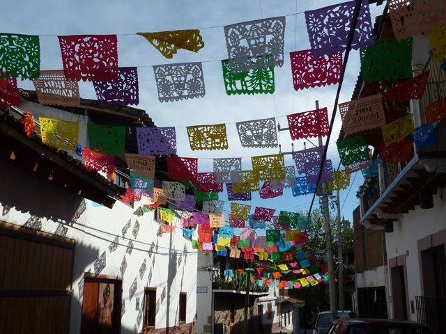
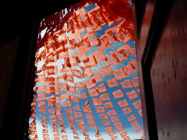
The people of Valle de Bravo have made a real effort to keep cultural life active. There are various arts workshops; local festivals are wonderfully folkloric, with fireworks castles and elaborate floral arrangements; the town square is generally clean and shaded by well-tended old trees. The town maintains a cohesive colonial aesthetic, with double-pitched tile roofs, lime-washed walls, and clay tile floors. As part of its cultural and commercial life, there are a good number of art galleries, a large artisan market, and many private shops selling art and crafts.
Sanuk